CHANGZHOU CITY

2025: Now and Future

In 2025, Changzhou stands as a city woven by speed and connectivity. Metro lines branch through old and new districts, while high-speed rail carries commuters and visitors across the Yangtze Delta in under an hour. Former factory zones have transformed into parks, exhibition halls, and waterfront walkways, where willow branches lean over restored canals. Glass towers rise behind temple roofs, and cafés sit beside century-old shophouses—layers of history folded into everyday life. Data flows as steadily as the Grand Canal once did: archival projects, digital museums, and urban sensors reshape how the city remembers itself. With green corridors linking lakes and wetlands, and smart industries replacing smokestacks, Changzhou in 2025 looks both backward and forward—a city honoring its past while writing a future in steel, glass, and code.

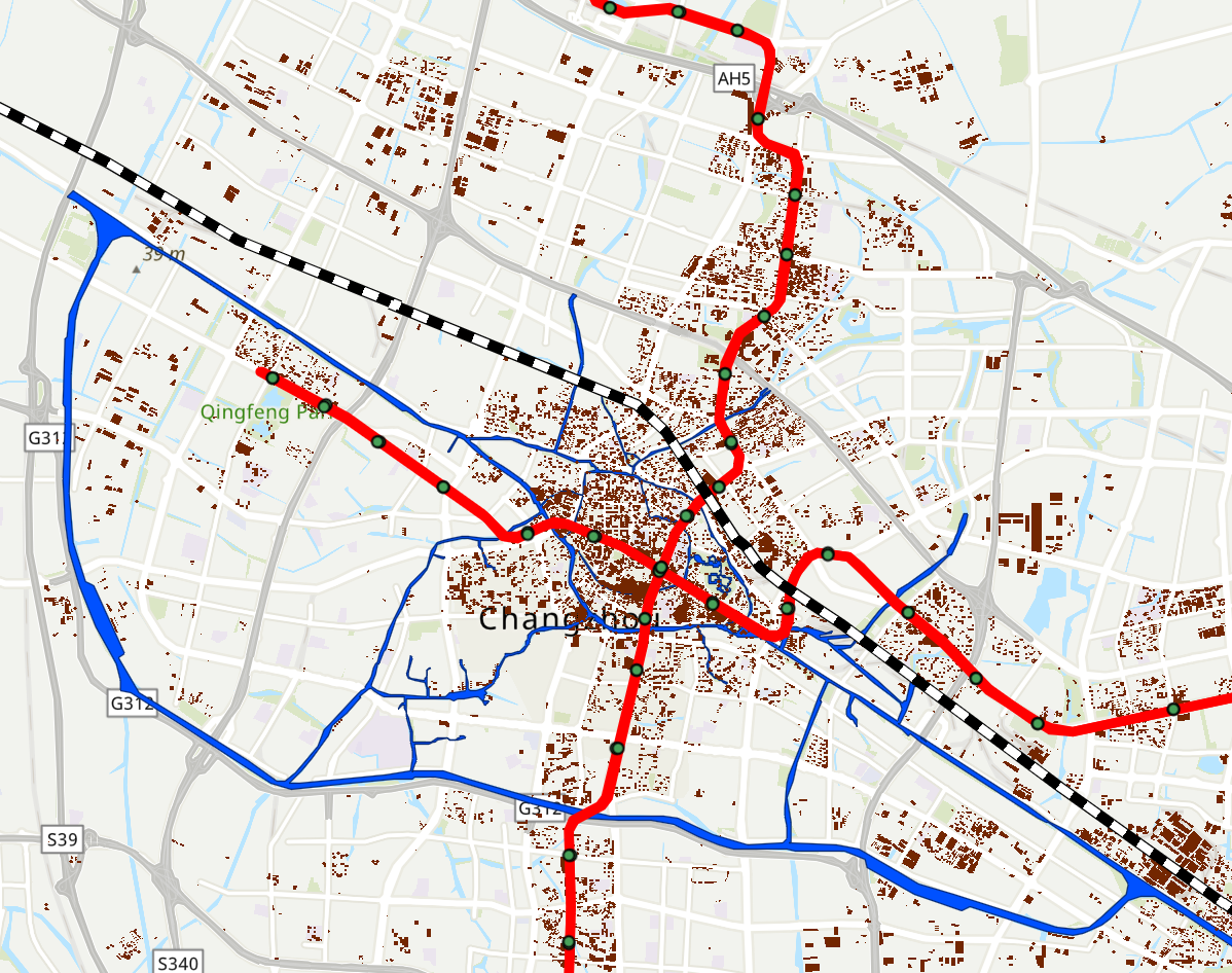
Source: Open Street Map (2025) - Base Map

Go to previous era
Layers

Features you should notice...

map

the Open Street Map

By engaging with this satellite map, you will find the density and granularity of geographical infromation grow exponentially with modern mapping technology. Over the past forty years, populated areas have expanded at a much faster pace than before, leaving very little undeveloped land. This is evident in the brown areas marked as “land use,” which cover most of the town, and the white space is scarce. The satellite view presents Changzhou in 2025 as highly modernized and fully built up. At the same time, the sheer volume and complexity of information encourage you to zoom out and observe from a distance. This could possibly pull you away from the evidence of everyday life and human activities that earlier maps were able to convey.

pop

the Urban Expansion

If you check the box for buildings, you will notice that their distribution shows urban expansion primarily along a north–south axis. This pattern was driven by the development of Xinbei District(新北区). Originally planned as a high-tech industrial zone in the northern part of Changzhou, the district was designated by the State Council to promote technological development and modernization locally. As a result, major industrial areas (shown in blue) are concentrated to the north-west of the old city center and are near to the Xinbei Distric.

subway

the Transportation Network

The transportation network in 2025 reveals a layered structure shaped by both historical infrastructure and contemporary urban planning. The Grand Canal (shown in blue) forms the city’s oldest circulation backbone, tracing the historical development of Changzhou and anchoring early settlement and commercial activity. The railway cuts diagonally across the city, acting as a powerful linear divider that connects Changzhou to regional and national networks while also structuring urban density along its corridor. More recently, the metro system (shown in red) links the historic northwest–southeast urban core with expanding new districts to the north and south. It demonstrates how Changzhou’s mobility network has evolved from water-based transport to rail and rapid transit. Each layer reinforced population concentration and influenced patterns of urban growth.